C2 Centre for Craft Culture Days Public Art and Craft Map
September 24 – October 24, 2021
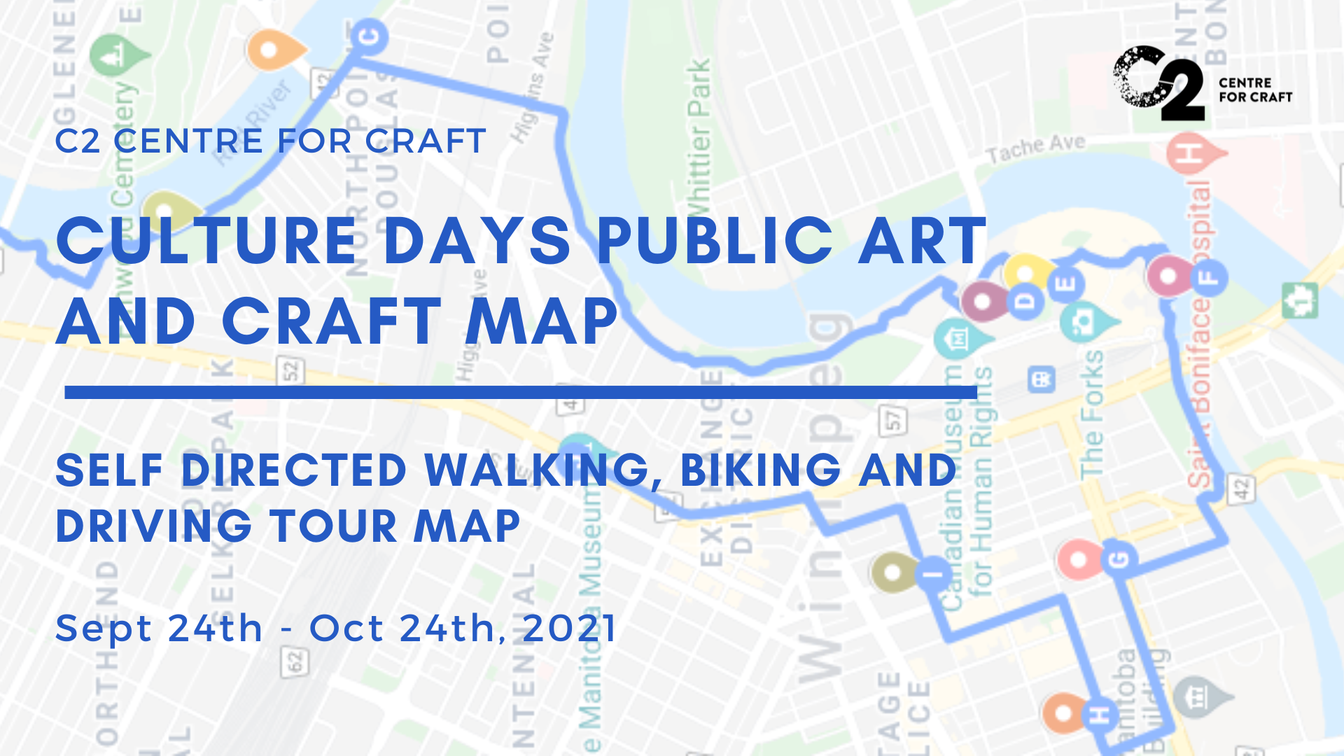
C2 Centre for Craft’s Culture Days Public Art and Craft Map is a self-directed public art and craft guide that allows you to walk, bike or drive with your friends and family to view and appreciate new and older works alike. 22 pieces of public craft and art have been pinpointed on a public google map. Find descriptions for each artwork when you click on the pins. Find the individual routes in the map legend.
You can find the Culture Days Event page and Map here
Routes:
Downtown Walking Craft Map – 4km taking approximately 90 minutes to complete – Downtown areas including Main St, The Forks – Designed for pedestrians, avoiding all challenging intersections
Downtown Biking Craft Map – 15 km taking approximately 90 minutes to complete – Starting at Kildonan park, this route begins with a river view bike ride through the forks. – Designed for biking, this route has emphasized scenic routes, bike paths and safer biking roads, avoiding challenging to navigate areas that lack biking infrastructure whenever possible
Southern Winnipeg Driving Craft Map – 16 km taking approximately 90 minutes to complete, longer if engaging with walking opportunities at locations – Several locations on this driving tour have optional walking components, including Écobuage by Plain Projects + Urbanink, and Bois Des Esprits Trail, without having to walk between locations in infrastructure
This map is downloadable to your tablet or phone. It can be printed by zooming into the desirable part of the map, then clicking the 3 dots in the top right corner of the info box.
Tag us on social media when participating! @manitobacraft @manitobacraftmuseumandlibrary